Source of the photo
http://www.transboundarywaters.orst.edu/publications/atlas/atlas_html/images/1_GIS-visualization.gif
Author of the description
Vaszita Emese
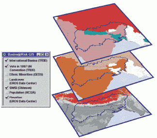
Az adatok helyszíni elemzésében és a helyszíni döntéshozatal támogatásában fontos szerepe van a térinformatikai rendszereknek (GIS) .
Szennyezett területek in-situ felmérése
