Source of the photo
http://www.map.hu/galeria/orig/1259_magyarorszag_kozigazgatasa.jpg
Author of the description
KÖRINFO
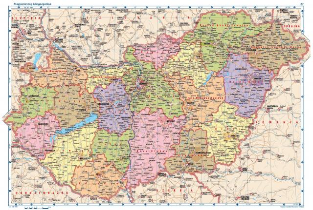
Political maps are designed to show governmental boundaries of countries, states, and counties, the location of major cities, and they usually include significant bodies of water. Like the sample above, bright colors are often used to help the user find the borders.
On the picture you can find the zoomable political map of Hungary.
Further interactíve maps are to be found in the ENFO knowledge base.
Source of description
http://www.map.hu/index.php?menu_a=11_0_1&apps=maps_data&id=38
